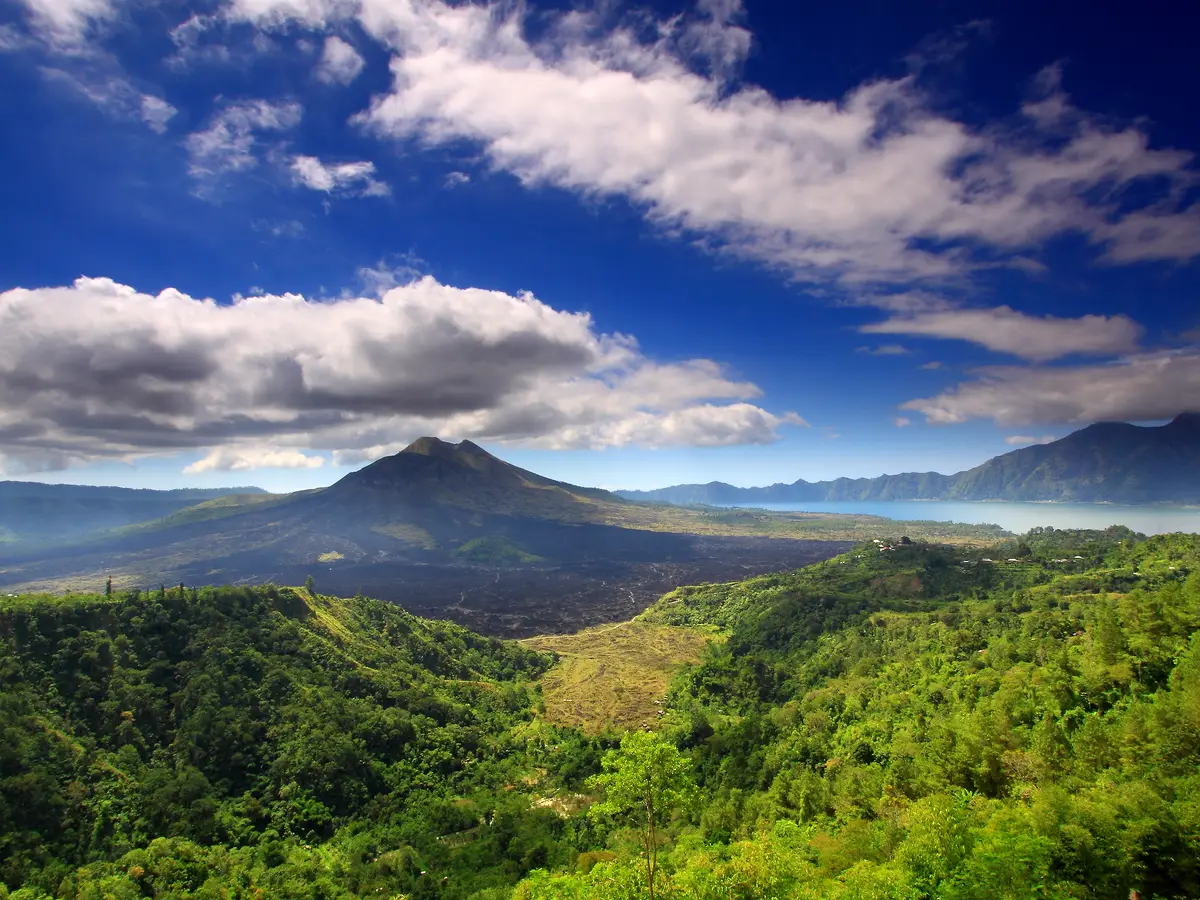
The rim of a volcanic caldera, with the cone and the lake laid out below.
The only volcano on this list and the only place to see how Bali was made, with no walking at all — but it is 54 km each way, so it is most of a day by itself.
- Time needed
- About 45–60 min at the rim
- Opening hours
- The rim road and its viewpoints are open at any hour; the view is clearest in the morning before cloud builds.
- Admission
- A district entry fee is collected on the road up to the rim.
- From the Benoa cruise port
- about 54 kmStraight line; the road is longer.
At a glance
- A viewpoint on the caldera rim at Penelokan, looking across to the volcano and the lake
- Mount Batur stands 1,717 m, an active volcano inside two concentric calderas
- The outer caldera is 10 by 13 km and the inner one 7.5 km across
- The outer caldera formed about 29,300 years ago; the inner is dated about 20,150 years ago, or 23,670–28,500 by another estimate
- The first documented eruption was in 1804, and the most recent activity ran from 1999 into 2000
- The lava field of the 1963 eruption is visible from Kintamani on the south-western rim
- The Mount Batur Caldera joined the Global Geoparks Network on 20 September 2012; that network became UNESCO's own programme in 2015
- Lake Batur and Pura Ulun Danu Batur are two of the five components of the Subak World Heritage listing
- About 53.9 km from the berth in a straight line — the furthest place on this list
About Kintamani and the Batur caldera
This is the far end of what a day ashore can reach, and it should be said plainly: the berth is 53.9 kilometres away in a straight line, and the road up is a long slow climb through the hills. Allow much more time than any map or router will suggest, both ways.
What you get for it is a hole in the island. Penelokan sits on the rim of a caldera, and from the road the ground simply falls away: below and across from you stands Mount Batur, an active volcano 1,717 metres high, with Lake Batur curved around its foot. There are in fact two calderas here, one inside the other. The outer is 10 by 13 kilometres and formed about 29,300 years ago; the inner is 7.5 kilometres across and is dated about 20,150 years ago, with another estimate in the same source putting it at 23,670 to 28,500. The cone you are looking at is a stratovolcano some 700 metres tall that has grown inside those collapses and rises above the surface of the lake.
The mountain is not finished. The first documented eruption was in 1804 and it has been frequently active since; the most recent activity ran from 1999 into 2000. From the rim at Kintamani, on the south-western side, you can see the lava field of the 1963 eruption lying black across the caldera floor. Fifteen villages live down inside the caldera, four of them — Kedisan, Songan, Trunyan and Toya Bungkah — the main ones.
Two designations belong to this place. On 20 September 2012 the Mount Batur Caldera was admitted to the Global Geoparks Network. That network was not UNESCO's own at the time — it became the UNESCO Global Geoparks programme in 2015 — and nothing has been published about Batur's standing since a revalidation visit reported for 2022. And separately, Lake Batur and the temple of Pura Ulun Danu Batur are two of the five components of the World Heritage listing for Bali's subak irrigation system — this lake is where the island's water comes from, and the supreme water temple that governs it stands here.
One thing this page will not offer you. Walking up Batur for sunrise is the famous thing to do here, and it is not available on a cruise call: it means starting in the small hours and being on the summit at dawn, with your ship alongside and sailing that evening. The rim view is a different proposition — you reach it by road and need not walk at all — and it is the honest version of Batur for a day ashore.
Visiting Kintamani and the Batur caldera
Good to know
Places near Kintamani and the Batur caldera
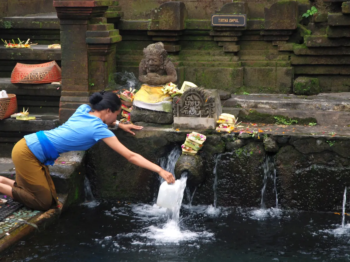 Pura Tirta Empulabout 15 km
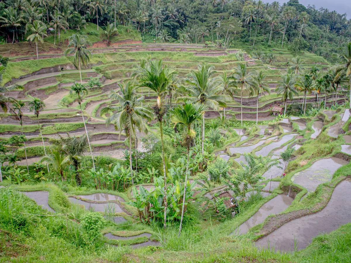 Tegalalang Rice Terraceabout 19 km
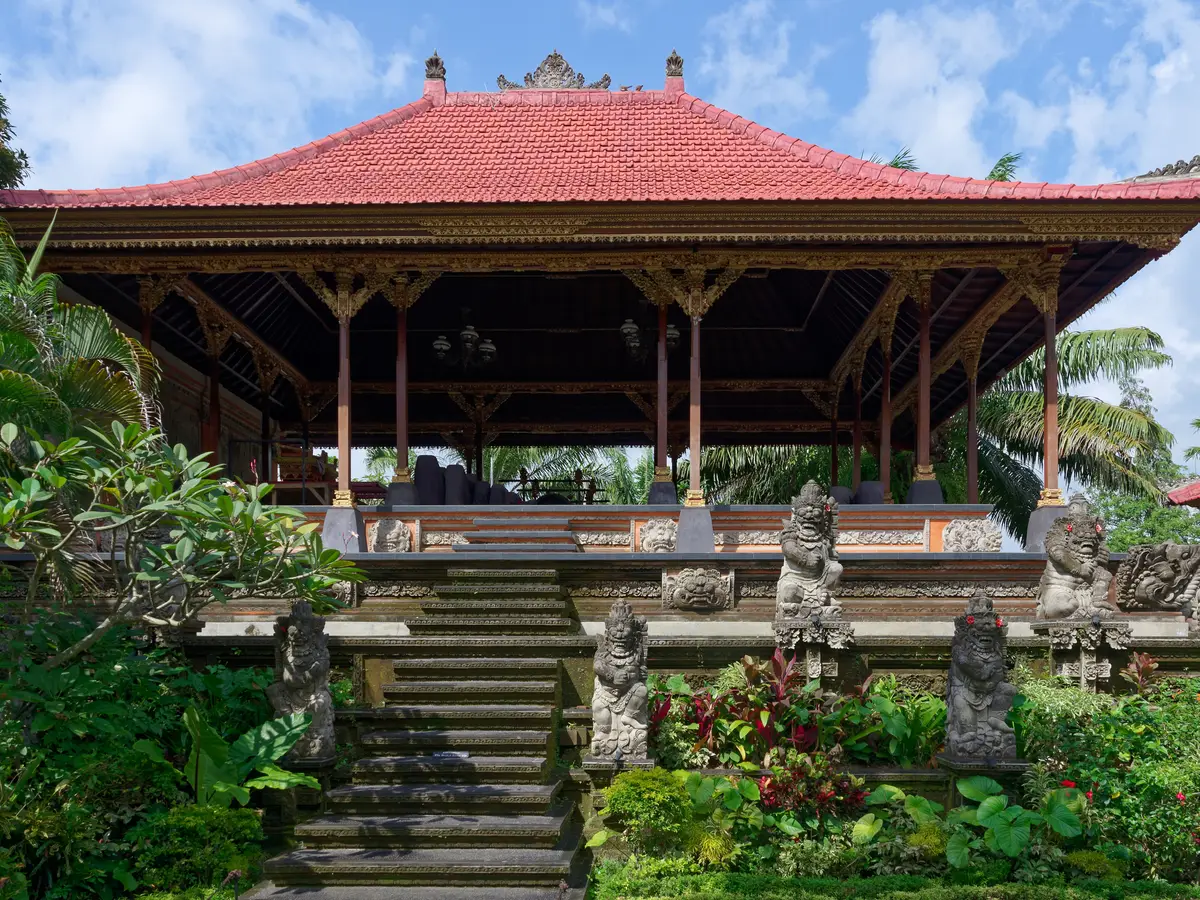 Ubud Royal Palaceabout 27 km
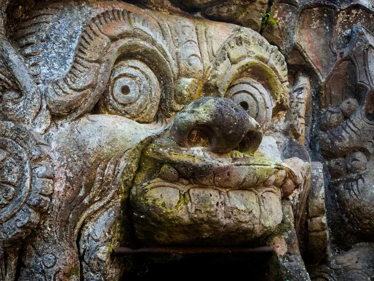 Goa Gajahabout 28 km
Kintamani and the Batur caldera: common questions
How long do you need at Kintamani and the Batur caldera?
About 45–60 min at the rim
What are the opening hours of Kintamani and the Batur caldera?
The rim road and its viewpoints are open at any hour; the view is clearest in the morning before cloud builds. Nothing closes, but cloud can shut the view entirely with no warning.
Is there an admission fee at Kintamani and the Batur caldera?
A district entry fee is collected on the road up to the rim.
How far is Kintamani and the Batur caldera from the Benoa cruise port?
It is about 54 km from the Benoa cruise port in a straight line. The road is longer, and the drive depends on traffic.
How much walking is there at Kintamani and the Batur caldera?
None required: the view is from the road. Anything down into the caldera is a separate undertaking.
From people who went
Nobody has written here yet. If you go, leave a line — the next ship reads it.
This place has the writing but not the recording.