A 1944 wreck shallow enough to snorkel, part of it above water at low tide.
The 1944 wreck in Coron Bay that is easiest to see without a diving certificate. It is far west of the town, so it only makes sense as part of a full day on the water.
- Time needed
- About 45 min
- Opening hours
- Decided by your boat and by the tide; how much of the wreck you can see depends on the water level.
- Admission
- There is no gate; what you pay is the boat and the guide.
- From the Coron cruise port
- about 20 kmStraight line; the road is longer.
At a glance
- A small Japanese vessel sunk on 24 September 1944, off the southern tip of Lusong Island
- The one wreck in Coron Bay that breaks the surface; it and the shallow end of one or two others are snorkelled rather than dived
- Reported at about 25 m long, though some guides say 30 or 35; depths given from the surface down to 12–15 m
- Part of the hull shows above water at low tide
- Eighty years of coral has grown over the hull, which is now the reason to look
- About 19.8 km west of Coron town in a straight line — a long boat run, not a short hop
About Lusong Gunboat
On 24 September 1944 aircraft from the carriers of the United States Task Force 38 found a Japanese supply fleet sheltering in Coron Bay and sank most of it in a morning. Nine or ten wrecks from that day are still on the bottom here, and they are the reason divers come to Coron from the other side of the world. Nearly all of them need tanks. This is the one that does not — its hull is at the surface.
The Lusong gunboat lies off the southern tip of Lusong Island — a small vessel, about 25 metres long, variously recorded as a gunboat or a subchaser. It went down in shallow water, and it still breaks the surface: at low tide part of the hull is in the air, and the rest is close enough under that a swimmer with a mask can see all of it. Dive guides give the depth as the surface down to 12 or 15 metres, and the length as 25, 30 or 35 — the usual spread when a wreck lies on a slope and everybody measures from a different point.
What you are actually looking at, eighty years on, is a reef in the shape of a ship. Coral has taken the hull, and the lines of the deck and the frames show through it rather than standing clear. Bring a mask: the difference between seeing this wreck and seeing a dark shape in the water is a piece of glass.
Visiting Lusong Gunboat
Good to know
Places near Lusong Gunboat
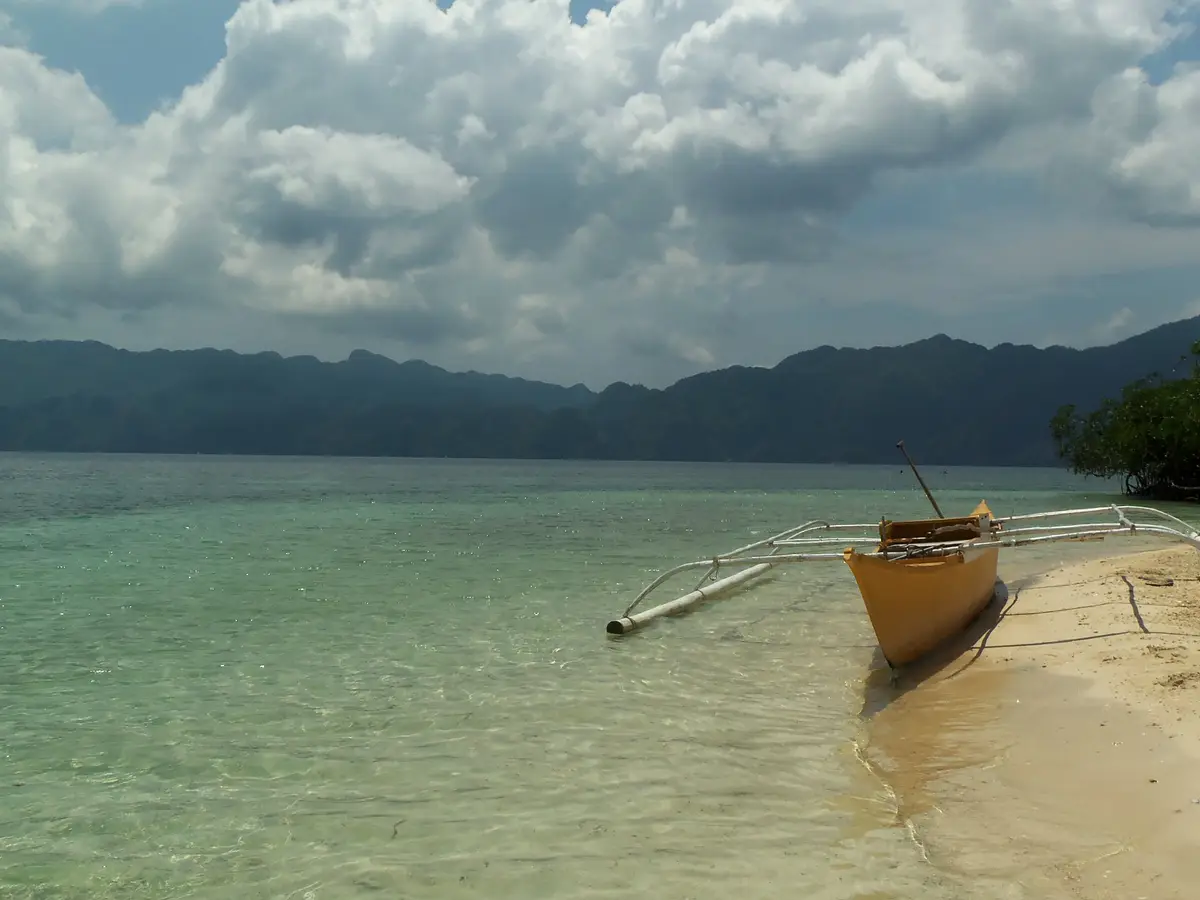 CYC Beach
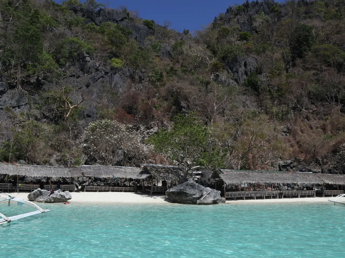 Banol Beach
Lusong Gunboat: common questions
How long do you need at Lusong Gunboat?
About 45 min
What are the opening hours of Lusong Gunboat?
Decided by your boat and by the tide; how much of the wreck you can see depends on the water level. Open water with a long crossing; wind closes it rather than a schedule.
Is there an admission fee at Lusong Gunboat?
There is no gate; what you pay is the boat and the guide.
How far is Lusong Gunboat from the Coron cruise port?
It is about 20 km from the Coron cruise port in a straight line. The road is longer, and the drive depends on traffic.
How much walking is there at Lusong Gunboat?
None. You go in from the boat with a mask and fins.
From people who went
Nobody has written here yet. If you go, leave a line — the next ship reads it.
This place has the writing but not the recording.