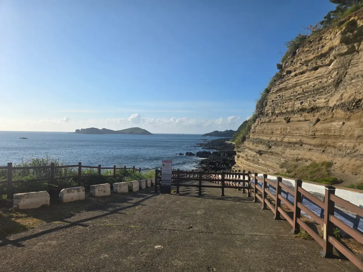
Look out from a coastal volcanic hill known for layered cliffs.
This is the fastest way to show guests the geology story on a west-side day. Seongsan Ilchulbong shows you a volcano's shape; Suwolbong shows you how one was built, in cross-section — same hydrovolcanic origin, opposite view of it. Because the summit is reachable by car, guests who cannot walk far still get the view, while anyone who wants the full experience walks down the Eongal-gil trail. That makes it easy to run with a group of mixed mobility. It costs nothing, and being on the western tip it doubles as a sunset stop if you schedule it late. It sits on the same line as Sinchang Windmill Coastal Road and Chagwido, so a west-coast half day assembles itself around it.
- Time needed
- 60 min
- Opening hours
- No fixed opening hours are published for the outdoor summit and coastal geotrail. Visit in daylight; the weather-station building and guided interpretation have separate access arrangements.
- Admission
- Visit Jeju does not publish a separate attraction admission fee for the outdoor viewpoint or coastal geotrail. Confirm any parking charge locally.
- From the Jeju cruise port
- about 43 kmStraight line; the road is longer.
At a glance
- A tuff ring built about 18,000 years ago when magma met seawater and exploded
- The cliff face is a world-class exposure of pyroclastic surge beds — a volcanology textbook site
- Natural Monument No. 513, designated in 2009
- One of the nine flagship sites when Jeju was certified a UNESCO Global Geopark in 2010
- 77 m above sea level — you can drive to the top; the weather station's 5th-floor deck is open to visitors
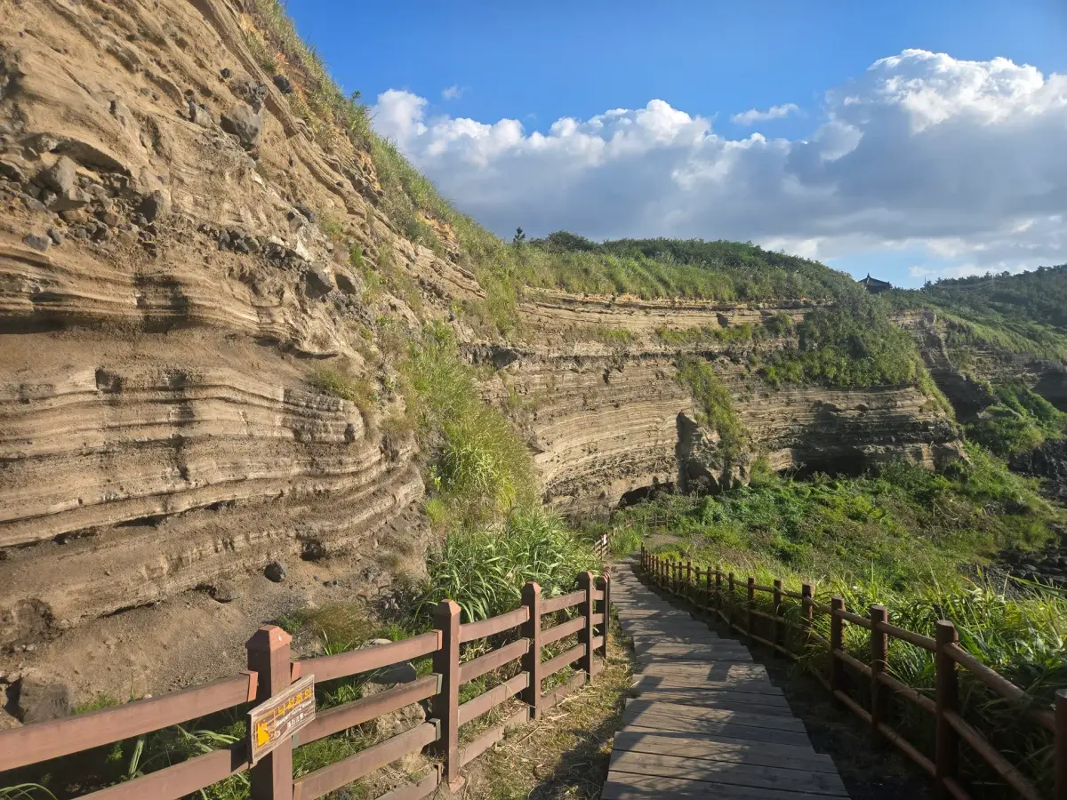
- Eongal-gil geo-trail, about 2 km and 50 min, puts the layered cliff at eye level
- Japanese colonial-era tunnel emplacements are cut into the cliff base
- Chagwido island and Jagunae Port sit straight offshore — one of Jeju's best sunset spots
- No admission fee, free parking, open year-round
About Suwolbong Peak
Suwolbong is a low hill, 77 m above sea level, at the far western edge of Jeju. From the road it looks unremarkable. What makes it famous is the cliff on its seaward side.
About 18,000 years ago, rising magma met seawater and exploded. Ash and steam raced outward along the ground as pyroclastic surges, and those surges settled layer upon layer into a ring-shaped volcano called a tuff ring. The sea has since cut most of that ring away. Only the western part remains — and the cut face is exactly what makes the site valuable, because it lays the layers open.
The exposure runs laterally along the sea cliff for a remarkable distance, and it is recognised as one of the world's finest sections through pyroclastic surge deposits. It appears in volcanology textbooks and draws researchers from abroad. Korea designated it Natural Monument No. 513 in 2009, and when Jeju was certified a UNESCO Global Geopark in 2010, Suwolbong was named one of the nine flagship sites.
You can drive to the summit, where the Gosan weather station has a fifth-floor observation deck open to visitors. To see the layers at eye level, take the Eongal-gil geo-trail down to the shore — about 2 km, roughly 50 minutes, passing tunnel emplacements dug during the Japanese colonial period.
Chagwido island lies directly offshore. There is no entrance fee and parking is free.
Visiting Suwolbong Peak
Good to know
Suwolbong Peak in photographs
Places near Suwolbong Peak
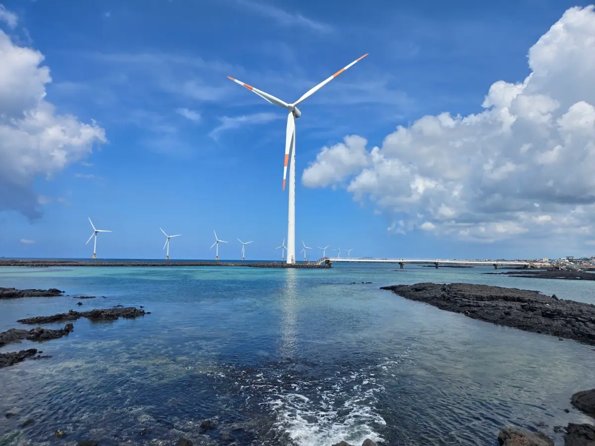 Sinchang Windmill Coastal Roadabout 5 km
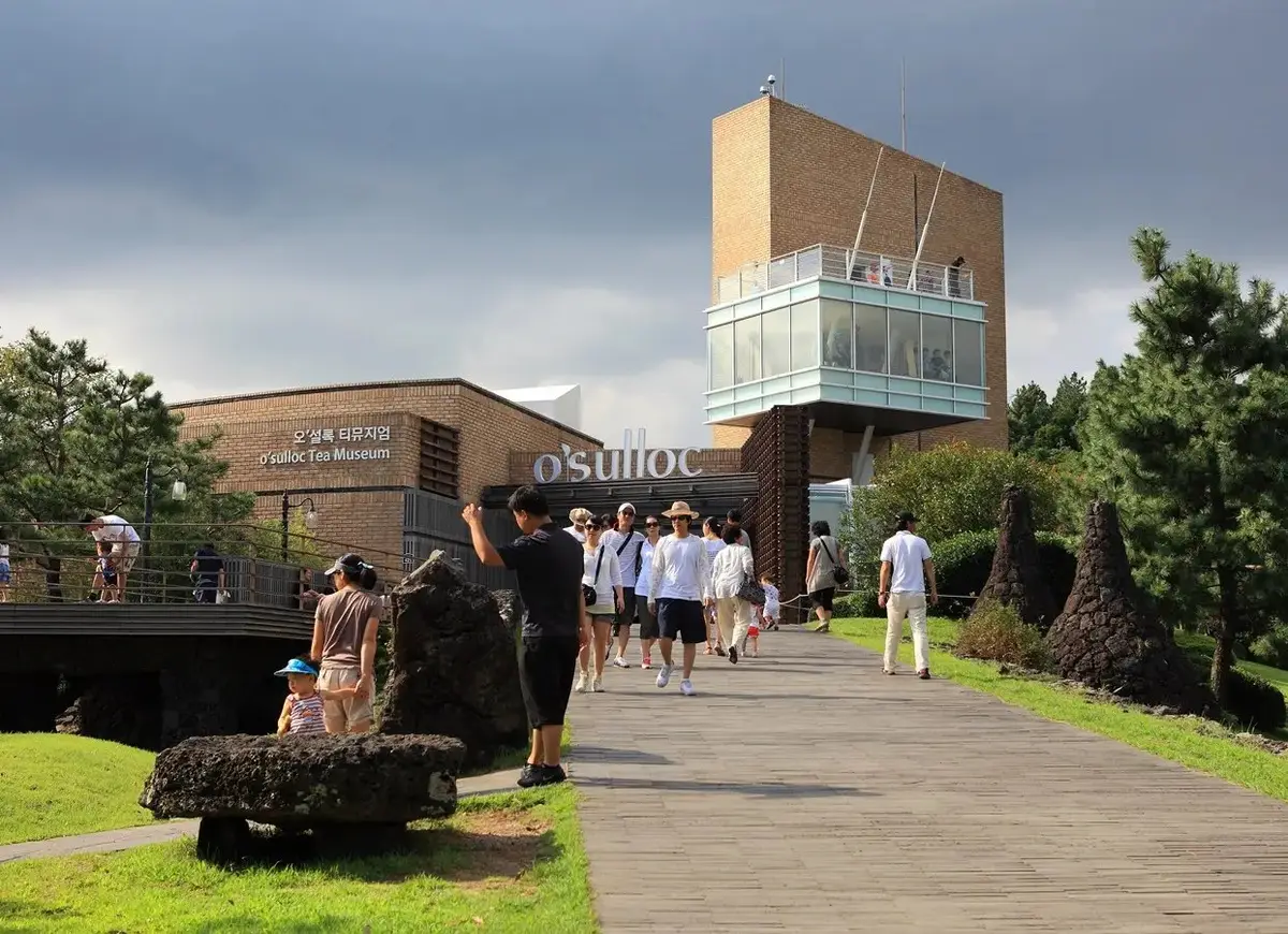 O'sulloc Tea Museumabout 12 km
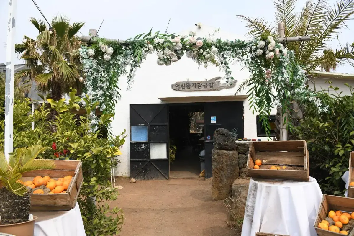 Little Prince Citrus Orchardabout 12 km
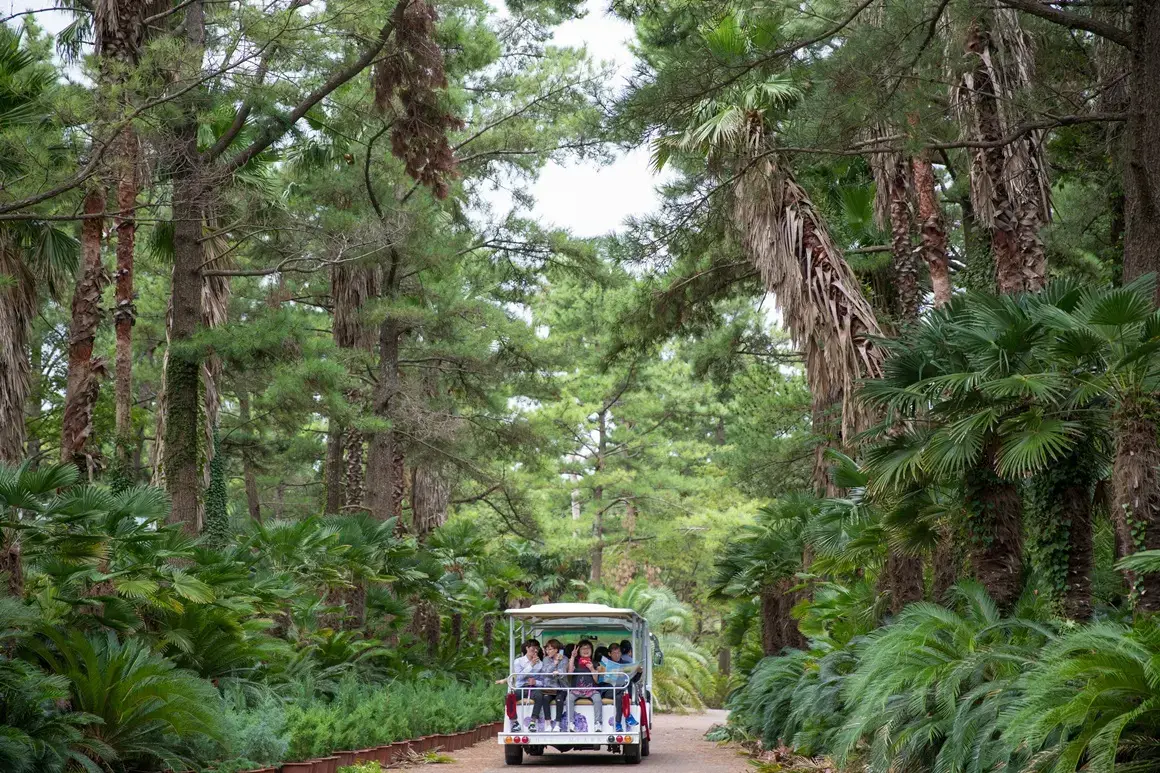 Hallim Parkabout 13 km
Suwolbong Peak: common questions
How long do you need at Suwolbong Peak?
60 min
What are the opening hours of Suwolbong Peak?
No fixed opening hours are published for the outdoor summit and coastal geotrail. Visit in daylight; the weather-station building and guided interpretation have separate access arrangements. No routine closure is listed for the outdoor viewpoint. Check local notices and weather before walking the coastal trail.
Is there an admission fee at Suwolbong Peak?
Visit Jeju does not publish a separate attraction admission fee for the outdoor viewpoint or coastal geotrail. Confirm any parking charge locally.
How far is Suwolbong Peak from the Jeju cruise port?
It is about 43 km from the Jeju cruise port in a straight line. The road is longer, and the drive depends on traffic.
How much walking is there at Suwolbong Peak?
Visit Jeju lists the full geotrail at 10 km (about 4 hours 30 minutes) and the Eongal section at 3.3 km (about 1 hour 30 minutes). For this 60-minute itinerary stop, see the summit and only a short coastal section; allow longer for the full trail.
From people who went
Nobody has written here yet. If you go, leave a line — the next ship reads it.
This place is recorded in 10 languages. On tour it plays itself when you arrive.
Open in Maps