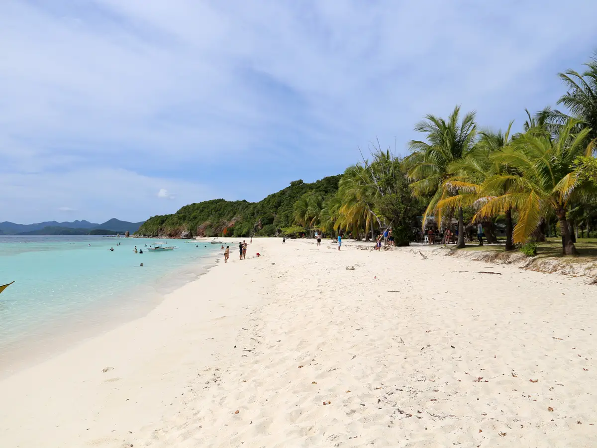
A crescent of white sand with a sandbar off it; no bananas, only coconut palms.
The furthest and the quietest of the three southern beaches, with a sandbar at low water. It costs the longest boat run of the day.
- Time needed
- About 90 min
- Opening hours
- Whatever your boat allows. Accounts give about an hour and a half to two hours each way from Coron town.
- Admission
- A landing fee is collected on the island, separately from the boat fare.
- From the Coron cruise port
- about 27 kmStraight line; the road is longer.
At a glance
- Properly Dicalabuan Island, spelt Dicalubuan on the map; Banana is the name the boats use
- You will not find a banana tree — the palms over the sand are coconut, and the name is usually explained by the island's curved shape
- A crescent of white sand with reef off it, in the southern island group with Malcapuya and Bulog Dos, and the furthest of the three from town
- A sandbar runs north from the island towards Malaroyroy and Bulog Dos, walkable at low water and chest-deep at high
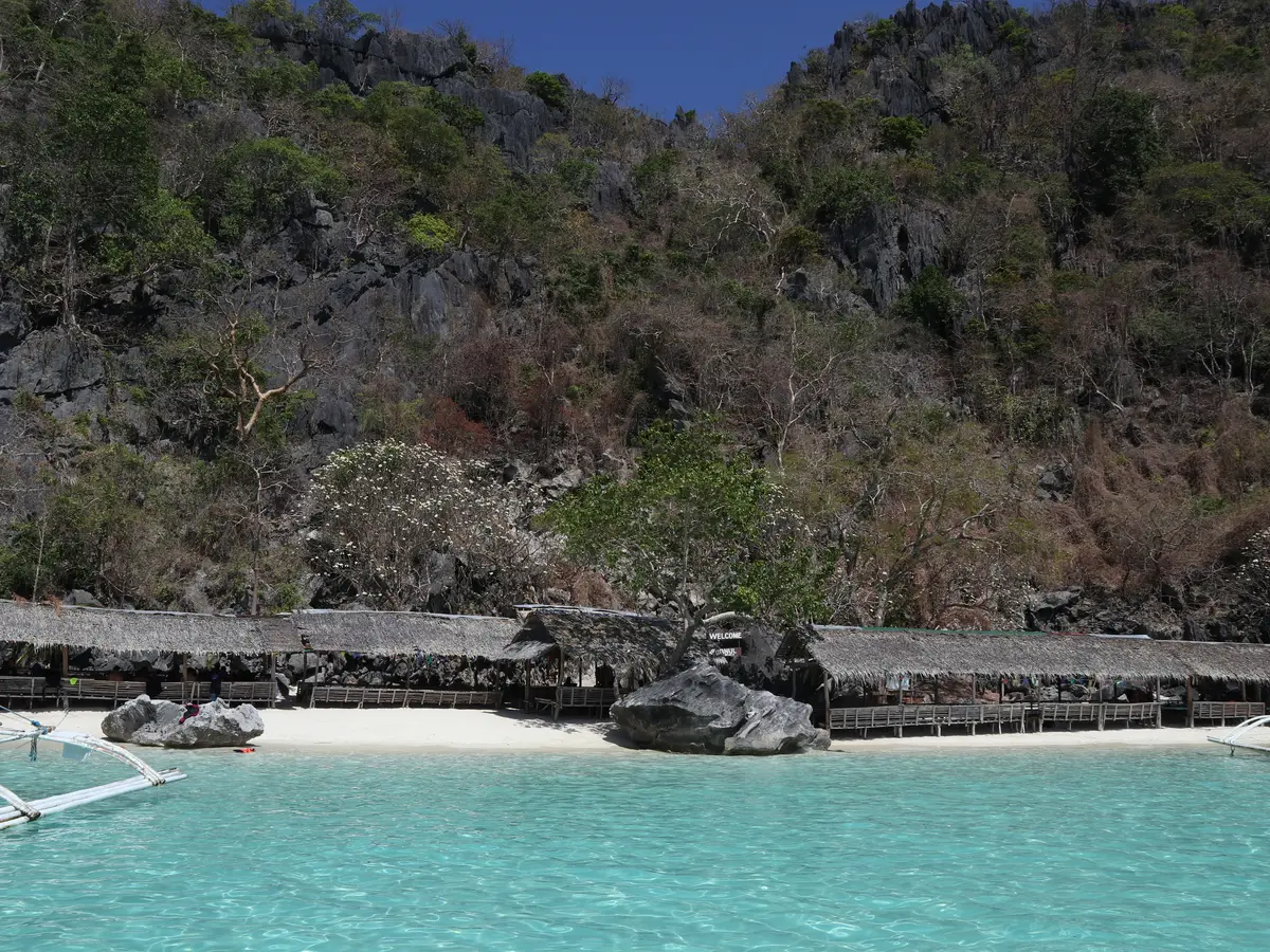
- Basic cottages and hammocks; the electricity, where there is any, comes from a generator
- In barangay Bulalacao, Coron, despite lying further out than Malcapuya, which is in Culion
About Banana Island
The island's own name is Dicalabuan — the map spells it Dicalubuan. Banana is what the boats call it, and the explanation you will hear is the shape — a crescent, bending round its beach. What you will not find is a banana tree. Visitors who have looked report none, and the palms leaning over the sand are coconut — worth saying plainly, because almost every visitor arrives expecting otherwise.
It is the furthest of the three southern stops, past Bulog Dos and beyond Malcapuya, and it is the one that feels least like a day trip. There is a long crescent of white sand, reef a short swim out, hammocks under the palms and a few basic cottages where people do stay the night; such electricity as there is comes from a generator. A sandbar runs north from the island towards the Malaroyroy peninsula and Bulog Dos, and can be walked at low water; at high water it is chest-deep. It is very likely the same shoal that makes Bulog Dos worth a stop, seen from the other end, and one tide decides both.
One administrative oddity, since the circuit's three islands are usually described together. Malcapuya, the nearest to town, is in the municipality of Culion. This island and Bulog Dos are further out and are still in Coron, in barangay Bulalacao. It changes nothing about the day; it is simply not what anyone assumes.
Visiting Banana Island
Good to know
Places near Banana Island
 Malcapuya Island
 Banol Beach
Banana Island: common questions
How long do you need at Banana Island?
About 90 min
What are the opening hours of Banana Island?
Whatever your boat allows. Accounts give about an hour and a half to two hours each way from Coron town. Wind. This is the long southern run and it is the first trip crews cancel in a swell.
Is there an admission fee at Banana Island?
A landing fee is collected on the island, separately from the boat fare.
How far is Banana Island from the Coron cruise port?
It is about 27 km from the Coron cruise port in a straight line. The road is longer, and the drive depends on traffic.
How much walking is there at Banana Island?
A wet landing onto sand, then level walking along the beach and, at low water, out along the sandbar.
From people who went
Nobody has written here yet. If you go, leave a line — the next ship reads it.
This place has the writing but not the recording.